
RESEARCH
Alberta Fire Risk Analysis using FIRETEC
The research team is using FIRETEC to assess the impacts of fuel treatments (such as stand thinning) on potential fire behaviour in the Wildland-Urban Interface.
Mapping Canadian wildland fire interface areas
Destruction occurs in the “wildland-urban interface” (WUI), which are areas where homes or other burnable community structures meet with or are interspersed within wildland fuels.
Evaluation of Gridded Precipitation Data...
Among the four weather inputs of the FWI System indices, interpolating the daily precipitation is a key challenge of mapping fire danger in remote areas.
Species at risk fire ecology and recovery
Prescribed burning is an expensive, resource demanding tool; prior to using it for limber pine recovery, managers required better information about how limber pine recruitment was expected to respond to fire.
Fire and whitebark pine recovery strategies...
The results showed that whitebark pine post-fire regeneration is a complex process linked to a variety of biological processes at multiple spatial scales.

Burn Severity
This dissertation suggests that increasing wildfire activity and severity may alter the composition and structure of northwestern Canadian boreal forests, accelerating expected ecosystem changes as northern climates warm and dry.
Predicting Fuel Characteristics of Black Spruce...
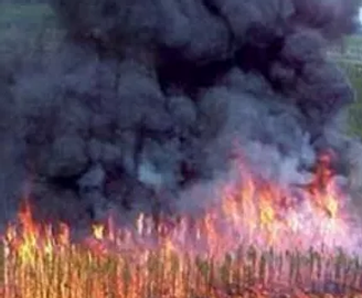
Maps that describe the characteristics of live and dead biomass across large areas (i.e., fuel maps) are a critical input to a wide range of research models and decision support systems that aim to describe potential fire behaviour and inform fire management actions.
The Canada Wildfire NSERC Strategic Network
The Natural Science and Engineering Research Council of Canada (NSERC) Canada Wildfire Strategic Network (the Network) aims to discover new solutions to better equip Canada to respond to future wildfires.